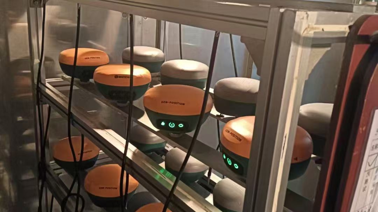
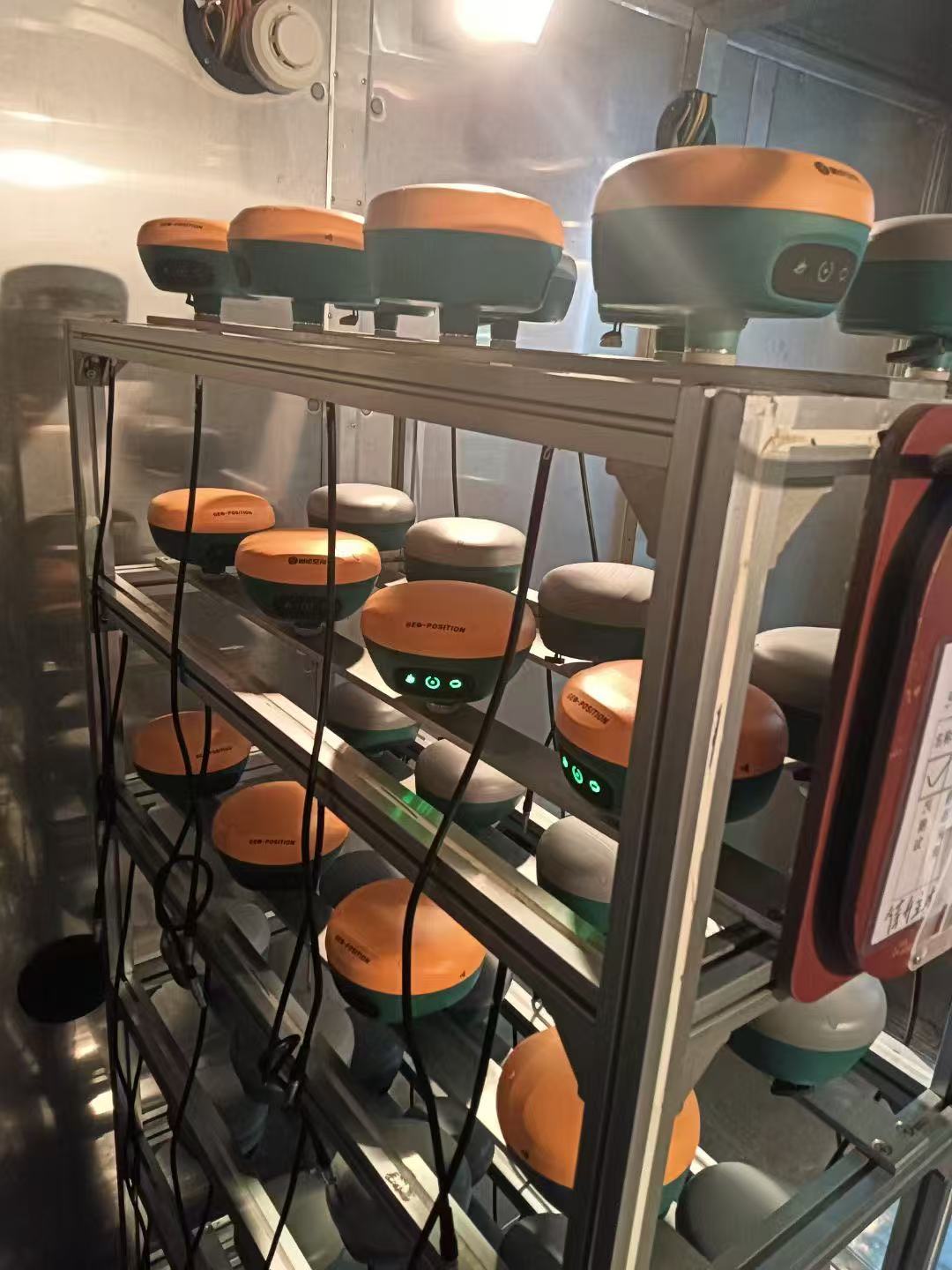
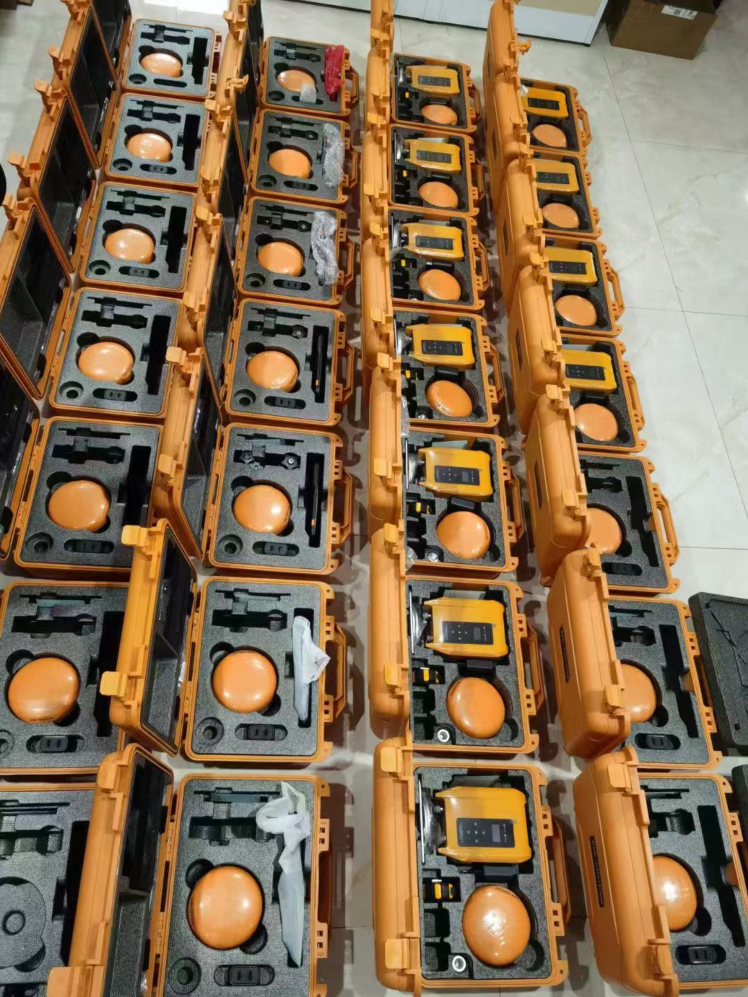
We can customize the products you want according to your needs, including but not limited to Gnss receiver, total station, level, drone, surveying accessories, etc.
Please fill in your customization requirements in the form below and leave your contact information so that we can communicate and contact you according to your customization requirements.
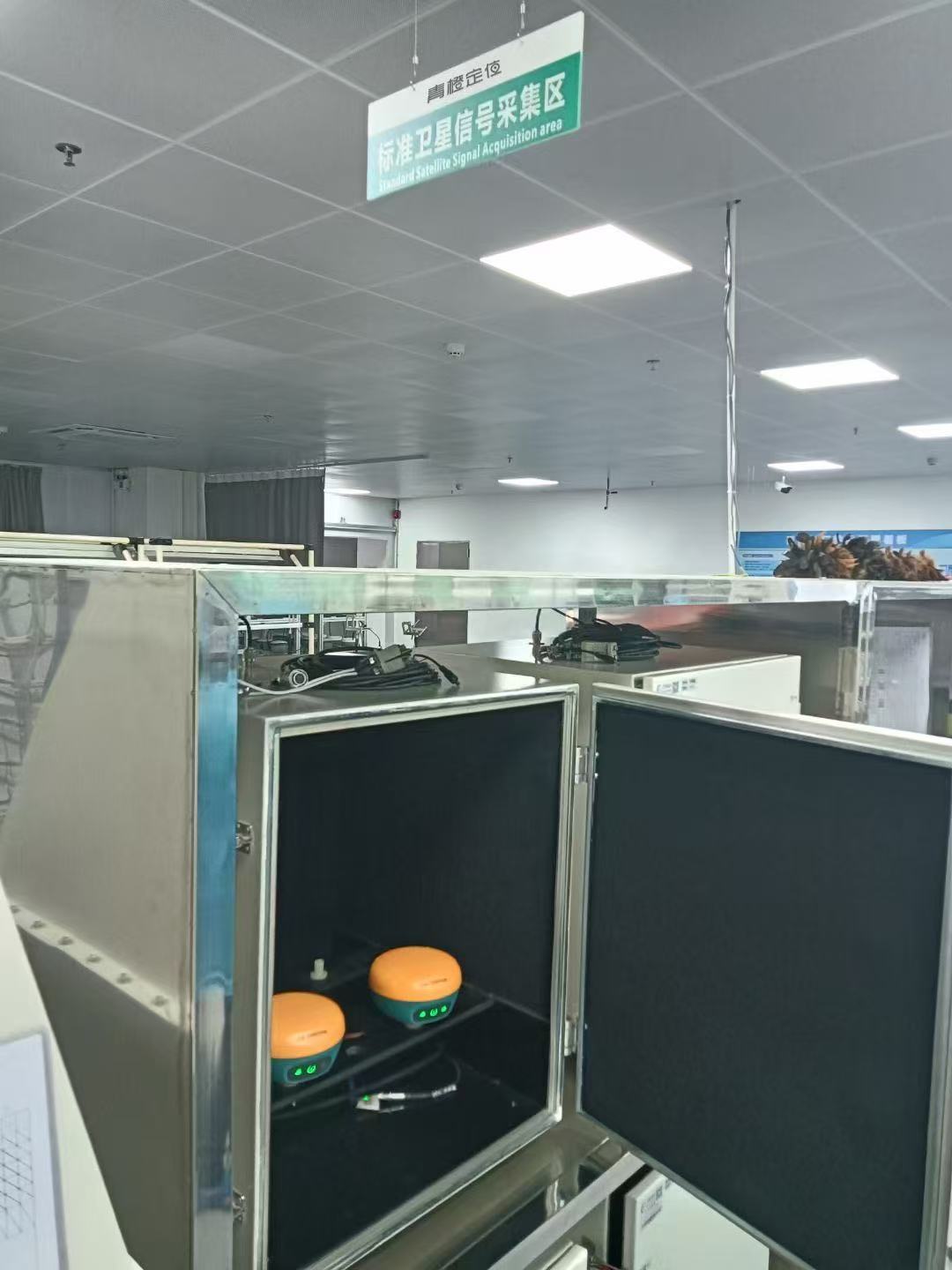
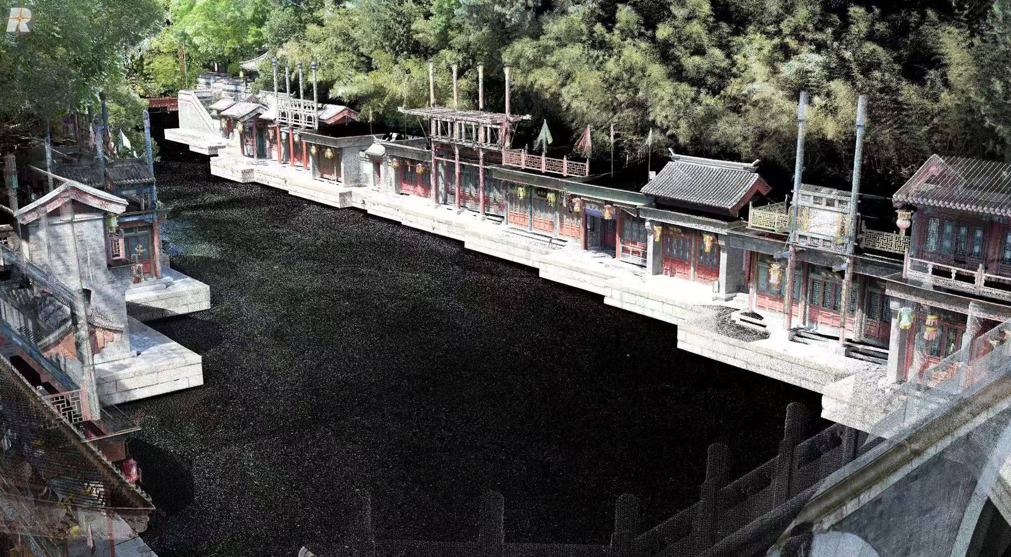
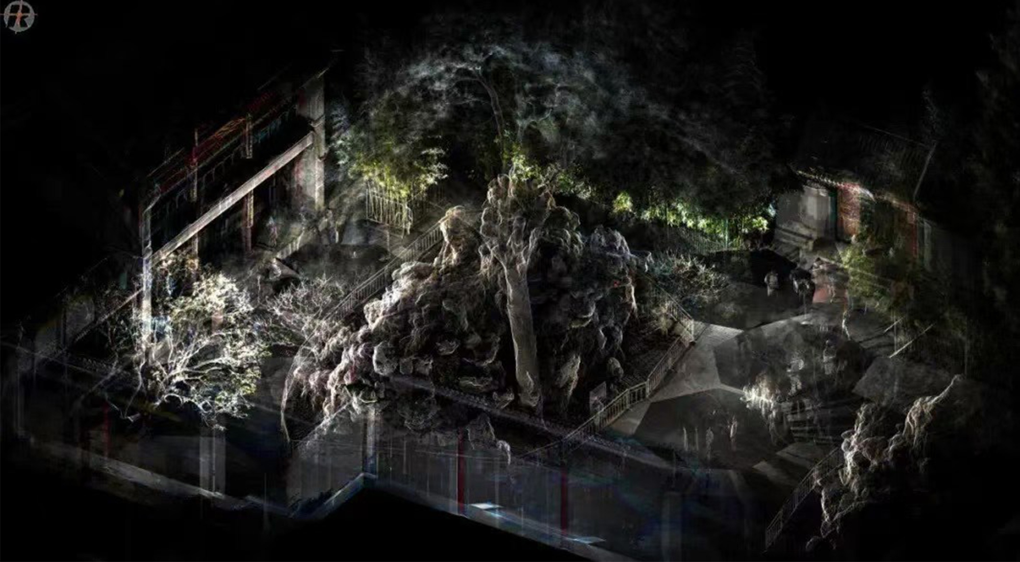
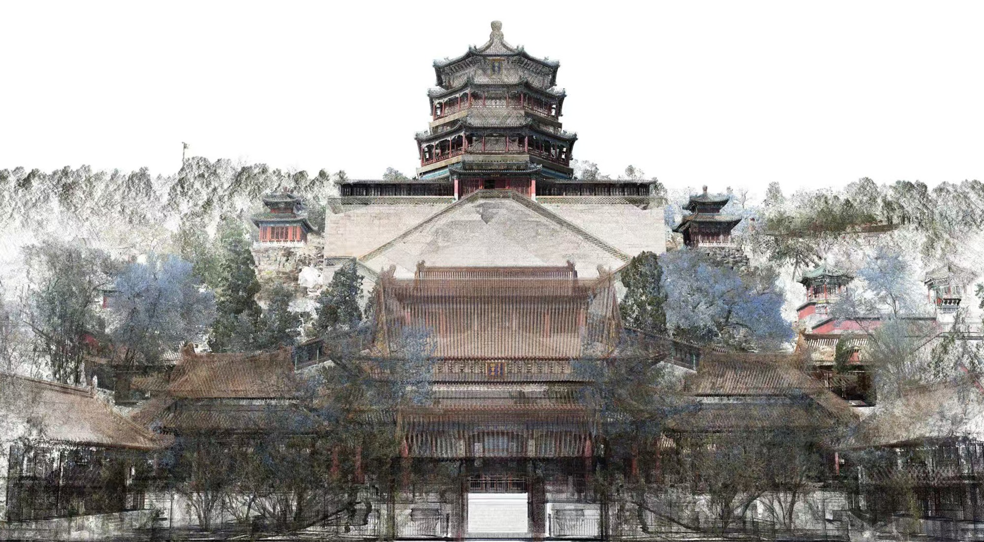
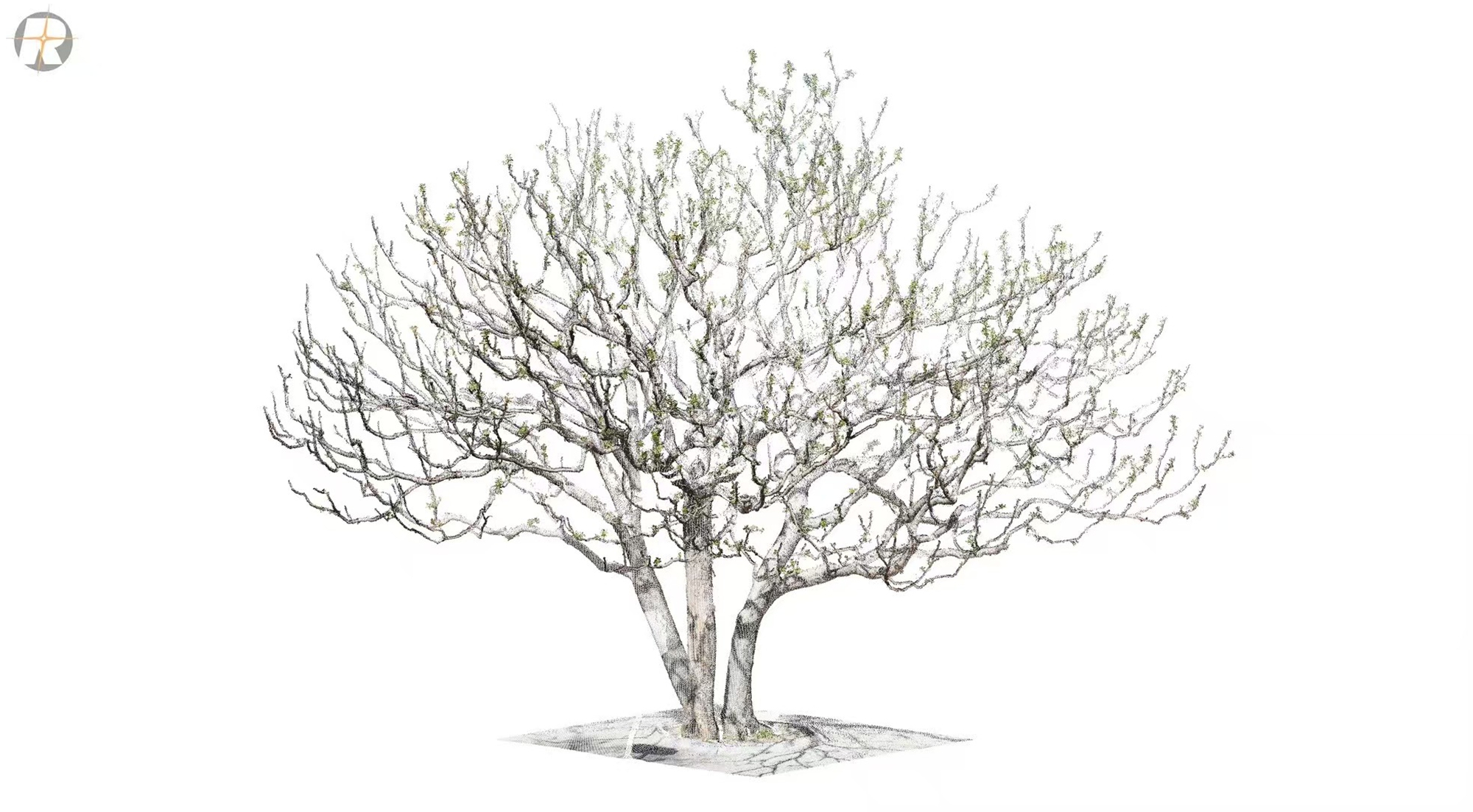
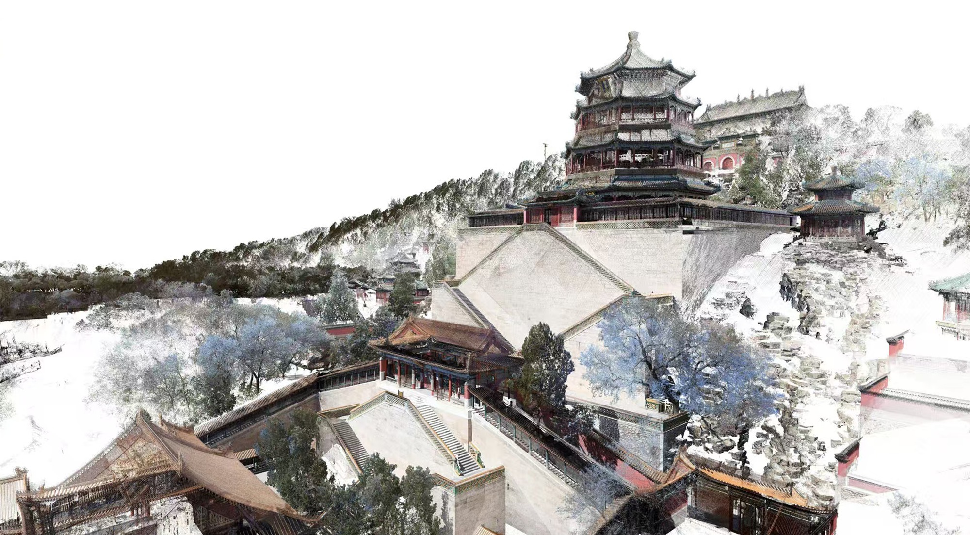
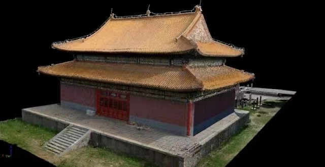
We have fairly mature 3D mapping and surveying capabilities, and have become a first-tier project service provider in this field in China.
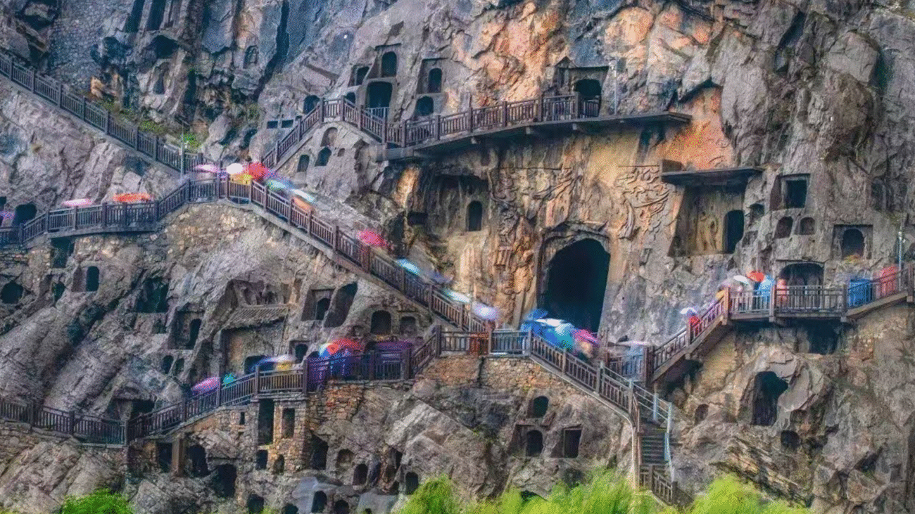
3D modeling of the Longmen Grottoes in Luoyang to monitor weathering
This is a display of some of our projects. We have rich application scenarios and welcome technical exchanges.
If you want surveying and mapping technology services from us, you can summarize your detailed requirements for the project in the table below. We will contact you in time and give you a reasonable quotation for the service.